

Location intelligence software has become an important tool for businesses and cities. The following points outline some uncommon benefits and application methods.
1. Direct Insights from Multiple Data Sources
Many companies hold location information in separated systems. By using location intelligence software, these disconnected datasets can be combined. This allows businesses to examine data from maps, sales, logistics, and customer traffic together. Teams can identify clear relationships between store performance and local factors. This supports more precise strategies.
2. Stronger Site Selection in Retail
Selecting a store location requires more than searching for busy areas. Retailers can bring together sales history, population reports, foot traffic, and local events data. This approach helps managers spot gaps or overlaps between stores. It also removes some of the guesswork from opening or closing outlets.
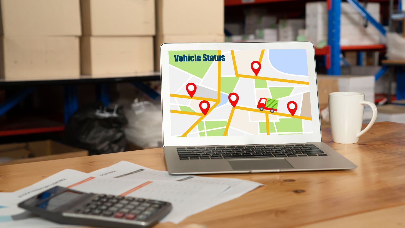
3. Targeted Delivery and Service Areas
Location intelligence software is widely used to assess delivery needs. Restaurants can review delivery routes, analyze wait times, and check daily peaks in orders. This helps optimize delivery staffing and spot delays. Service providers use similar tools to match technician deployment with demand patterns by address.
4. Better Risk Management
Weather and crime data can affect business decisions. Location intelligence software helps map out risk-prone zones near stores, warehouses, or offices.
 Planners can make adjustments quickly after new trends or events are detected in the data. This can prevent losses and lets teams respond faster to local disturbances.
5. Traffic Pattern Analysis
Noticing how people or vehicles move around a city takes more than observation. Companies and public service agencies examine real flow data from public transit, cars, and walking records. This type of analysis can show the best paths for deliveries. It can also reduce traffic jams or delays by redirecting resources elsewhere.
6. Operational Cost Reduction
Bringing geographic and sales data together reveals buying patterns. From this, leadership can time marketing or inventory decisions more accurately. When goods and staff are sent only to high-demand spots, costs go down. Businesses can stop understocking or overstaffing in certain locations.
7. Useful for Public Safety and Emergency Response
Police and emergency groups use software for tracking event locations. They can map the history of incidents and resource allocation across an area. Using historical call patterns and hotspot maps, agencies can send units to the right neighborhoods during busy times. This method reduces wait times for services.
8. School and City Planning Improvements
Urban planners review school enrollment by area, public amenity maps, and population forecasts. Location intelligence software combines details so that zoning and transport changes suit population growth. Schools and hospitals can be built where new residents will require them. Road and bus route changes can also be designed around mapped demand.
9. Enhanced Marketing by Geography
Marketers use location intelligence to aim at regions where new or current customers live and work. Instead of wide advertising, resources are put toward small clusters of high interest or high value. Businesses see clearer returns on ad spending with targeted campaigns. This work is usually repeated for each product or season.
10. Easier Reporting and Presentations
Many departments struggle to present findings or suggest plans with complex tables and reports. When maps and trend lines are used, staff can see results at a glance. Location intelligence software makes it possible for non-technical teams to view resource flows, sales peaks, or delivery trends. This closes the gap between data experts and business users.
Adopting Location Intelligence in Various Fields
The uses of location intelligence software are not fixed to one type of firm. Local government, retailers, restaurants, logistics companies, and health planners all use these tools for different purposes.
- Retail businesses focus on store siting, inventory guides, and analyzing customer movement by location.
- Restaurants optimize deliveries, seating arrangements, and staff shifts by reviewing mapped out trends.
- City leaders handle road extensions, bus route changes, and new public facilities based on local data.
- Emergency planners match resources to event histories and traffic flows to make sure help arrives quickly.
- Logistics firms cut costs and boost speed by tracking routes and adapting supply chains to ground-level realities.
Data Integration Factors
Pulling data from maps, customer logs, street cameras, and weather feeds is complex. Many companies need to standardize how addresses and time stamps are matched up, so the software can spot trends. Privacy and storage limits also need to be handled. Firms may have to work with outside experts for the first setup.
Challenges and Constraints
The software cannot fix problems if the data is missing or full of errors. Poor GPS accuracy, old address lists, or missed updates can create mistakes. Teams may also face limits on what is allowed with public data. Local rules may stop certain uses or require extra security measures for customer location records.
Staff Training and Support Needs
Many organizations have staff who have not worked with map-based tools before. Training is needed to help teams use the data and not misinterpret trends. Software makers often provide support, templates, and guides to speed up adoption. Still, learning how to read and act on mapped information remains a staff development issue.
Privacy and Data Security
Collecting and combining location data can come with risks. Misuse or leaks may affect customers, residents, or workers. Secure software and strong privacy practices are important when collecting personal or place-based data. Transparency about how data will be used is also needed to reduce complaints.
Conclusion
Location intelligence software is practical for many business types. The benefits can include improved decision-making, lower costs, targeted marketing, and more efficient service delivery. Integrating and using this technology does require planning, staff training, and strong privacy safeguards. When used carefully, the value reaches into operations, planning, and resource management. Each application provides details that can be seen and acted on by various company or agency departments. The flexibility and focus of location intelligence software help remove guesswork and reveal direct outcomes for those who need to act in specific locations.